NWC: close the demo and go back to Newcastle Web Co

Demo by Newcastle Web Co. This is a demo design and not a real business. Every design is one of one: when a business picks it, no one else gets it.

Demo, not a real business.

Lic. 000000C (demo)

Lic. 000000C (demo)

Builders in Lake Macquarie

LakeMacquarie

We work as builders in Lake Macquarie as well as in Newcastle, and the council area south of the city asks its own questions: four mine subsidence districts, bush running between the suburbs, a lake shore and an ocean coast, each with flood and coastal planning of its own. Every job still starts the same way, with a site visit and a written fixed price.

Book a site visitSuburbs

Around the lake, the ground changes its mind between one suburb and the next, and sometimes between neighbours.

Builders in Lake Macquarie: the local rules

Building in Lake Macquarie City runs under the Lake Macquarie LEP 2014 and the Lake Macquarie DCP 2014, on top of the state's codes. Four subsidence districts reach into the area we work in: Lake Macquarie, the Lake Macquarie No 1 Extension, West Lake and Swansea North Entrance. None of the ten lake suburbs we checked has a heritage conservation area, so heritage here comes down to individual listed items, while water and old mines decide much more.

What building in Lake Macquarie City involves

Most of the jobs we price here start with the same four questions, and the answers change across the council area more than people expect.

Subsidence. Where a lot sits inside a mine subsidence district, Subsidence Advisory NSW has to approve building work before it starts. Each lot carries a surface development guideline. On the lower-risk ones a complying design can be signed off locally by council or a certifier; the pothole and merit-assessed guidelines, 1, 1A and 7, along with 4 and 5, go to the agency itself. Toronto is the odd one out, mapped mostly Guideline 6 for ground that future mining is likely to reach, and Speers Point is the other extreme, outside every district despite a colliery that opened in 1843.

Bush. The fire mapping here is heavy. Most of Valentine is mapped, more than half of Redhead and Belmont, about half of Charlestown and Caves Beach. On mapped land a bushfire assessment gives the Bushfire Attack Level, and the house, addition or deck is built to it.

The lake and the ocean. Lake Macquarie has a shore on one side and surf on the other, and council plans for each. Lake foreshore lots come under its waterway flooding policy. North Creek has its own flood study, Teralba to Toronto has a climate resilience plan, Pelican through to Caves Beach shares a local adaptation plan, and the Redhead dunes have a management plan of their own. The state's coastal maps add Coastal Use and Coastal Environment Areas, and Belmont has coastal wetlands.

The council's plan. Lake Macquarie DCP 2014 holds the detailed controls, and we read the parts that apply to your lot rather than working from a general rule.

How the suburbs differ

  • Warners Bay: mostly clear of the subsidence district, so a new house there is a question of floor height against the creek and the lake.
  • Charlestown: the largest suburb in the city and wholly inside a subsidence district, where a renovation is sorted into exempt work and work that needs approval.
  • Speers Point: no subsidence district, about 20 heritage items and the legacy of the Cockle Creek smelter, so soil sampling leads any granny flat.
  • Swansea: the town at the lake entrance, where additions are drawn to council's flood information and a south-west corner of mixed guidelines.
  • Caves Beach: the ocean side, where outdoor structures answer to salt, wind and the bush buffer.

Beyond those five, Redhead is a colliery village mapped mostly Guideline 2, Belmont sits on sand between lake and sea, Valentine's design is driven by the bush, and Eleebana is a 1976 estate on land once described as poor and steep, essentially outside the districts. Their questions are answered the same way, address by address.

As home builders in Lake Macquarie we run the same crew as in Newcastle: our own carpenters frame, fit out and finish, and licensed specialists we coordinate handle the electrical, plumbing, drainage and gas. One site lead runs each job from start to finish. Our new builds, extensions and granny flats pages carry the price ranges and the stages, and the Newcastle page covers the city side.
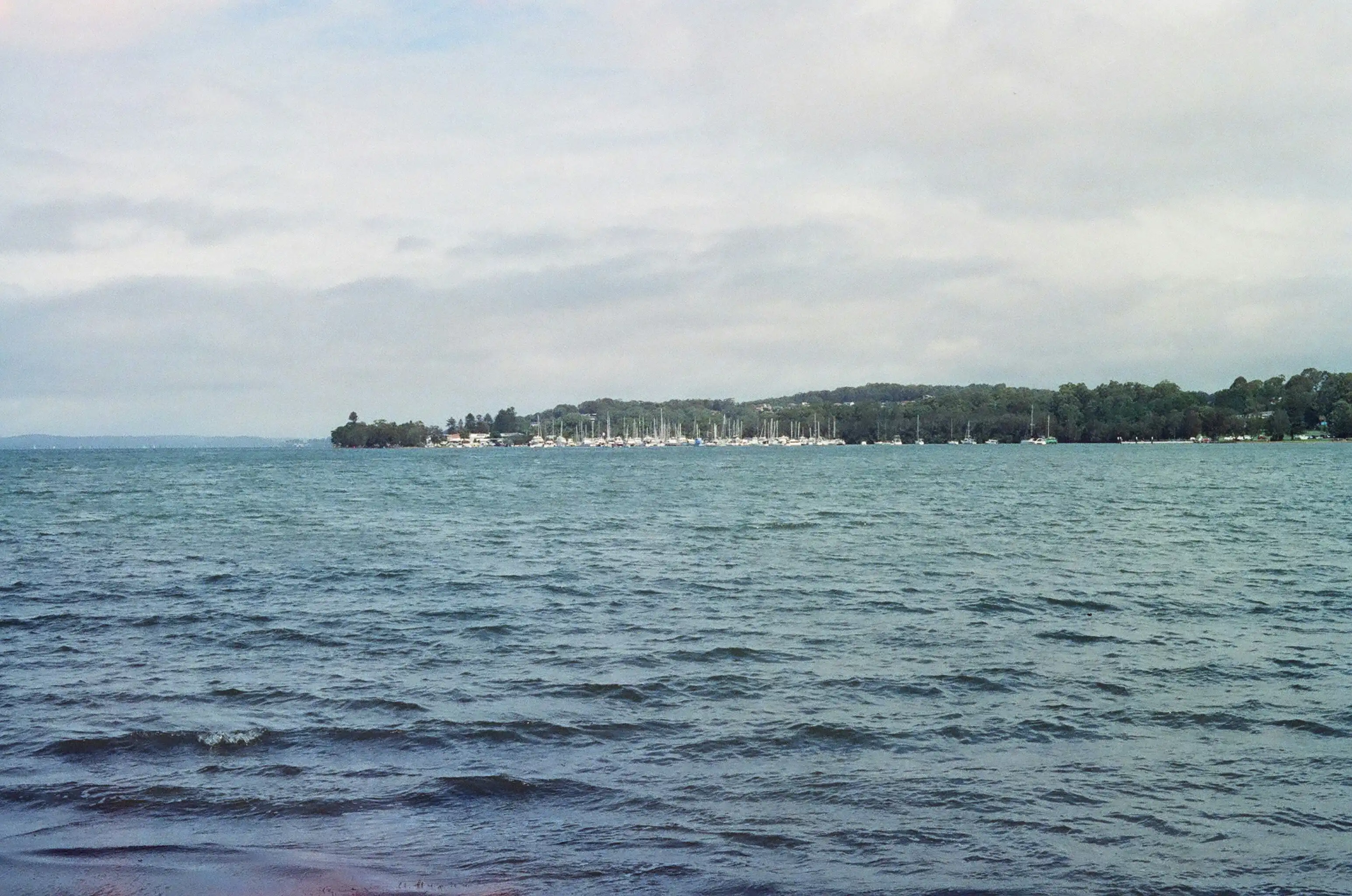
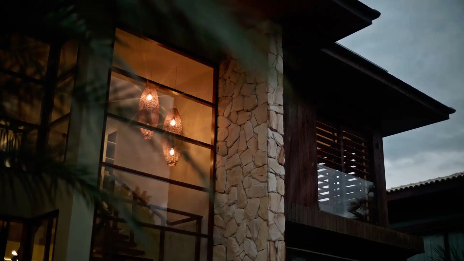
What we build in Lake Macquarie

  • New builds and knock down rebuilds

    From the North Creek catchment to the Redhead dunes, a new house in Lake Macquarie City is drawn to its subsidence guideline and flood level before its floor plan.

  • Extensions

    Adding rooms around the lake often means matching an old floor to a new flood level, or confirming with Subsidence Advisory how a small addition sits on the lot's guideline.

  • Renovations

    With no conservation areas in these suburbs, a renovation is shaped far more by the subsidence list, the bush mapping and asbestos in older sheeting than by heritage.

  • Granny flats

    Granny flats come up often here, and the land decides the approval route: a listed item on the lot or Class 1 or 2 acid sulfate soils push it to council, and flood information can change it too.

  • Decks

    Foreshore lots, Toronto's Guideline 5 parcels and heavy bush mapping can each stop a deck being exempt, so its height and size are set against the lot's maps.

  • Pergolas

    On the ocean side, salt air and the bush buffer both choose the frame and the roof, and Subsidence Advisory's list exempts pergolas up to 50 m² on every guideline.

Tell us the suburb and the street, and we'll find out which subsidence district, flood plan and coastal map the lot falls under before we book a time to walk it with you.

Book a site visit(02) 5550 4806

Building in Lake Macquarie: your questions

What is different about Toronto's Guideline 6 ground?

Guideline 6 is for properties likely to be undermined in the future, and Toronto is mapped mostly under it. A house there can be one or two storeys of clad frame or masonry veneer, within set limits on length and footprint, with no basement, no stepped slab and no retaining walls built into it. An inground pool is limited in length and can't have a wet edge. A complying design can be approved by council or a certifier, and some Toronto parcels on Guideline 5 go to Subsidence Advisory.

Why doesn't the state planning map show flooding for Lake Macquarie?

When we checked the state's Flood Planning layer in October 2026, it held no data for Lake Macquarie at all. That's a gap in the state layer, not a finding that the land is dry. Council keeps its own flood information: its waterway flooding policy for the lake, studies such as North Creek and plans such as the one for Teralba to Toronto. Its Property Flooding Information Tool returns levels for a single lot, and that's what we read for any address near water.

Why does acid sulfate soil come up so often around the lake?

Because it is mapped around much of the water. Belmont, Toronto, Swansea and Caves Beach all have every class from 1 to 5 mapped in parts, and Warners Bay, Speers Point, Valentine and Eleebana have several. Where a lot is mapped Class 1 or 2, the state's complying development codes don't apply and council decides the job. We read it for each lot before the footings are designed.

We're near the wetlands at Belmont. What changes for building there?

More of the maps apply. Part of Belmont is covered by the state's coastal wetlands mapping and the proximity area around it, acid sulfate soils are mapped in every class, and over half the suburb by area is bush fire prone, mostly the eastern wetland and bush. Lake foreshore lots there also fall under council's flood levels. Council's adaptation plan for Marks Point and Belmont South belongs to a different suburb, so we don't apply it to Belmont lots. Each of those layers is read for your address.

Which council plan applies to building in Lake Macquarie?

Two of council's own, plus the state's. The Lake Macquarie LEP 2014 sets zones and heritage listings, and the Lake Macquarie DCP 2014 holds the detailed controls a development application is assessed against. State policies sit over both: the codes that allow complying development, the housing policy for granny flats and the coastal maps. We don't quote setbacks or floor areas from a website, because the figure depends on the zone and the lot, so we read the relevant parts for your address.

How far ahead should we plan for sea level rise on a lake or coastal lot?

Council's waterway flooding policy plans for sea level rise out to 2050 and to 2100. The version of the policy we read dates from 2020 and was due for review, so we check the current settings with council for each job rather than quoting levels here. For a new house or a large addition, designing to the later horizon is usually the safer choice.