Builders in Warners Bay: the local rules
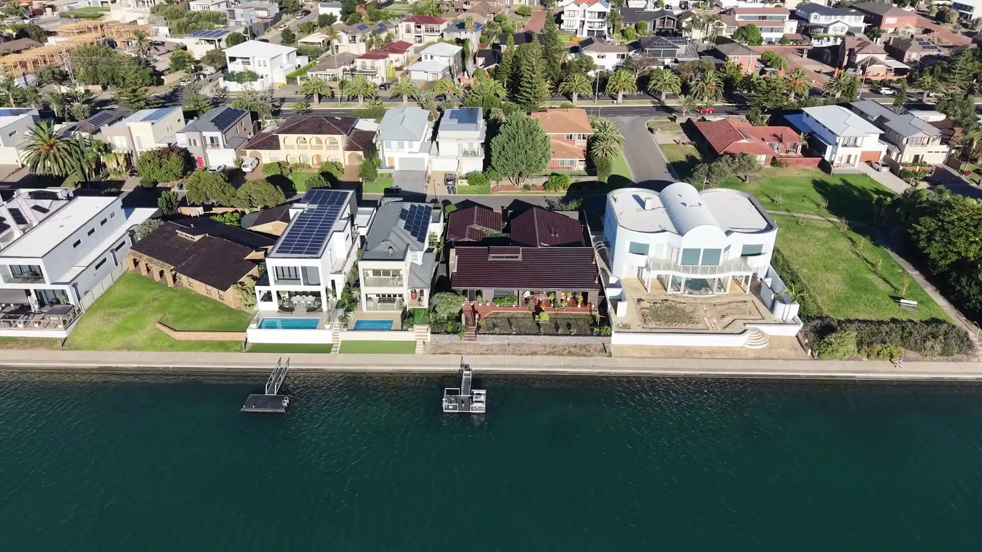
Warners Bay takes its name from Jonathan Warner and lies on the eastern side of the lake, at about 11 m above sea level. The foreshore shared path passes through on its way from Booragul to Green Point, and the Warners Bay Village shops sit close to the water. The items council lists here include House 'Ali's Palace', a cottage, the Mine Pithead and Coal Tramway to Lake, and the permian fossil insect horizon nature reserve.
Two kinds of water
Council's North Creek flood study, shared with Lakelands and part of Speers Point, models what happens when rain runs off the catchment. The lake is a separate question: on the foreshore, the habitable floor has to clear a level that council's waterway flooding policy works out from a big flood in the lake itself. A Warners Bay lot can sit under one of those, both, or neither. That's why we read the planning certificate and the Property Flooding Information Tool for your block before a house is drawn, and not for the street.
On a rebuild, the new floor often has to sit higher than the old one. That changes more than the slab. The front steps, the garage, the driveway and the path to the back door all start from a new height, so we draw them together from the first sketch rather than leaving the steps for the end.
The eastern quarter
About a quarter of the suburb, toward the east, is in the Lake Macquarie subsidence district. The council's listing of the Mine Pithead and Coal Tramway to Lake is a reminder of why. The lots there are mostly Guideline 8, which sets no design limits, and Guideline 2, which does: a house is articulated brick veneer on a reinforced slab or footings, with no basement, no stepped or suspended slab, and any retaining walls kept separate from the house. Much of the eastern side is also mapped bush fire prone, so a lot there can carry a subsidence guideline and a bushfire level at the same time.
Acid sulfate soils and the coast
Parts of the suburb carry acid sulfate mapping in classes 1, 3, 4 and 5. Class 1 takes land outside the complying development codes, so a new house there goes to council. The foreshore also falls in both of the state's coastal maps, and on those lots coastal matters are part of the development application.
The order on a rebuild
Demolition is its own approval, and it comes after an asbestos test, because a house built before 1990 may contain it. Then the new house is approved, by a certifier where the lot qualifies or by council where it doesn't. How a new home is designed, priced and built, stage by stage, is on our new builds page. For a suburb where the ground question is the soil, see Speers Point, and for the rest of the lake, go back to Lake Macquarie.